China Is a World-Leader in Faking Images With AI
- Kim Jong Un Just Fired His Photographer for This Ridiculous Offense
- These Photos of Mars Could Make NASA Jealous
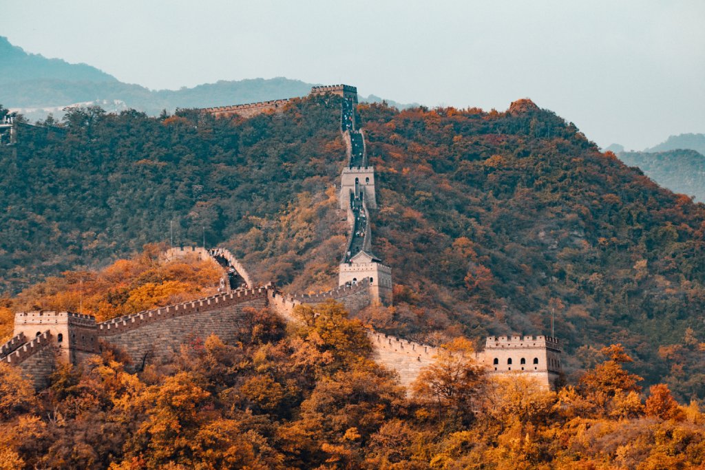
Photo by Hanson Lu on Unsplash
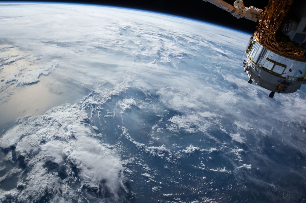
Satellite imagery is constantly being used by militaries in order to gain tactical advantages over other countries.
One recent example of militarized satellite imagery is the fact that we now know North Korea has nearly 2 dozen hidden nuclear sites.
We know this because we were able to directly observe it from space.
But, if you're able to trick computers into displaying fake images, then satellite images wouldn't be any good at all.
As it turns out, this is exactly what China is excelling at.
Who's Worried About Fake Satellite Images?
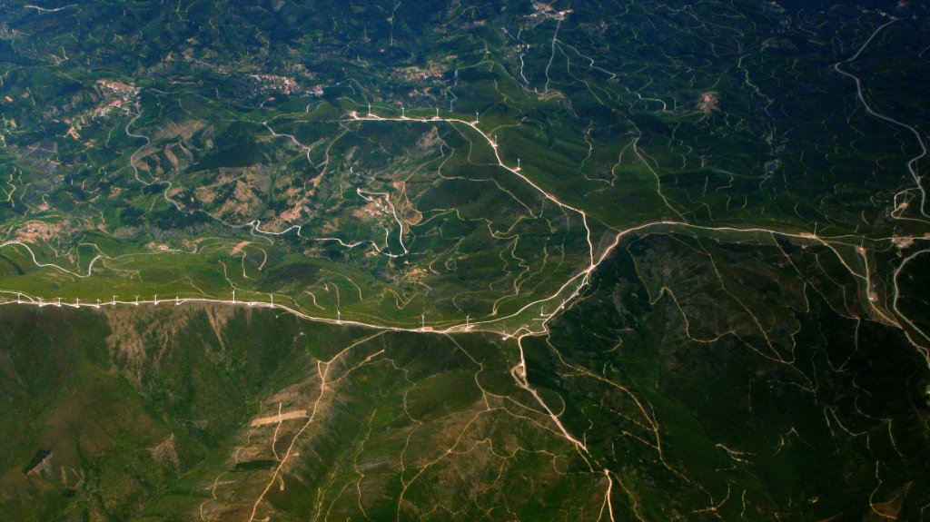
Photo by Paulo Simões Mendes on Unsplash
The National Geospatial-Intelligance Agency (NGA) is one of the most important agencies in the U.S. that you've probably never heard of.
The NGA provides information to the president and his cabinet on counterterrorism and weapons of mass destruction. It also allows every airplane in the U.S. to maintain safe flight patterns and even provides information for your cell phone GPS.
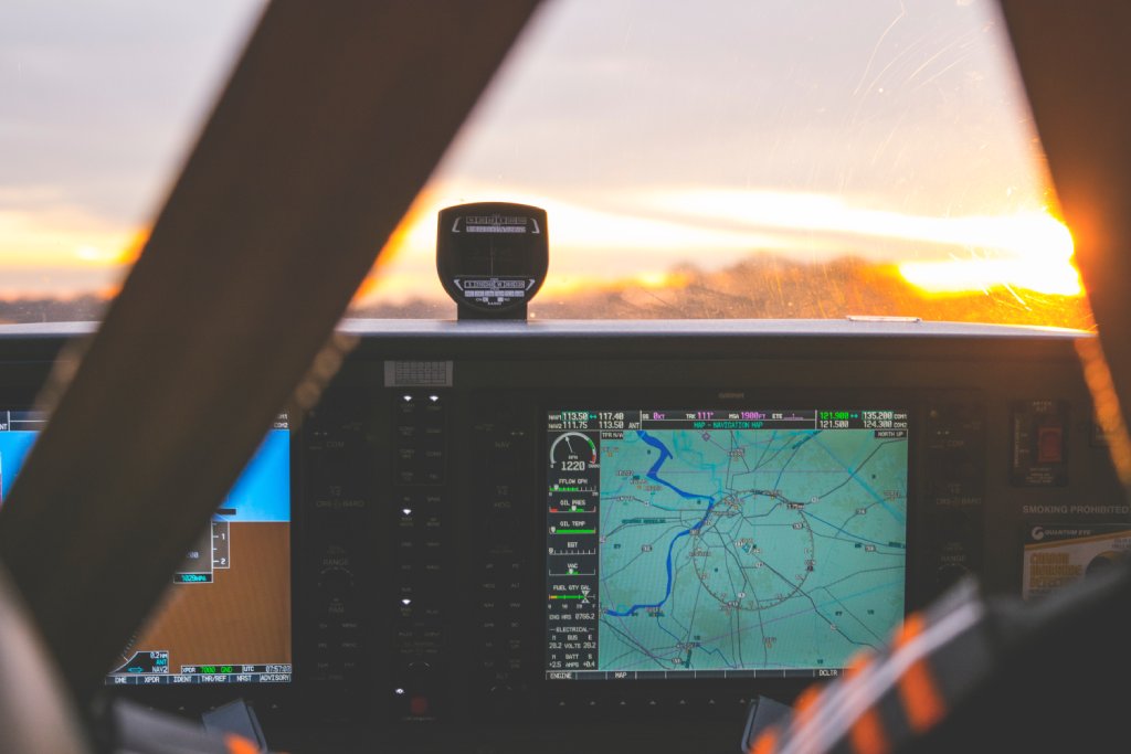
Photo by Cédric Dhaenens on Unsplash
And the guy in charge of the NGA is worried about China's ability to trick them.
Todd Myers, the automation lead of the NGA, gave a speech at a summit recently where he said, "The Chinese are well ahead of us."
"The Chinese have already designed; they're already doing it right now, using GANs-which are generative adversarial networks-to manipulate scenes and pixels to create things for nefarious reasons."
Defense One, a news organization that covers U.S. national defense, argues that deep fakes, AI-crafted photos of celebrities or politicians saying or doing things they didn't, is nothing compared to fake satellite photos.
What Does a Fake Satellite Image Look Like?
Every imagery analyst uses computer assistance in order to instruct decision makers on which way a military should head through some mountains, or whether a country's military base has been abandoned.
China is now able to fool these analysts into thinking, as an example, that a bridge exists over a river.
"So from a tactical perspective or mission planning, you train your forces to go a certain route, toward a bridge, but it's not there," Myers said. "Then there's a big surprise waiting for you."
THE SCIENCE BEHIND FAKE SATELLITE IMAGES
That big fancy acronym-GANs-is essentially a way that AI learns.
"The same technique that can discern real bridges from fake ones can also help create fake bridges that AI can't tell from the real thing," according to AI technologists in a Quartz article.
Since AI is relying more and more on open-sourced images, just a few fake sets of data put into an open-source imagery website could have horrific consequences.
Editor's Tip: Do you have beautiful photos but aren't sure how to display them? Turn them into large format prints! See what your photos look like as fine art.
"Imagine Google Maps being infiltrated with that, purposefully? And imagine five years from now when Tesla (self-driving cars) are out there routing stuff?" Myers said.
What Is the U.S. Government Doing About It?
Not enough, at least according to the head of the CIA's Digital Directorate.
"We are just starting to understand the magnitude of the problem," he said.
Eventually, when government agencies are able to tell truth from fiction, but the news media and political activists are not because they don't have the funding or resources to double and triple check imagery, it may cause further distrust of the government.
Learn More:
Via NewsMax and Defense One